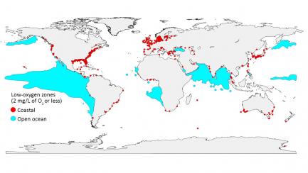
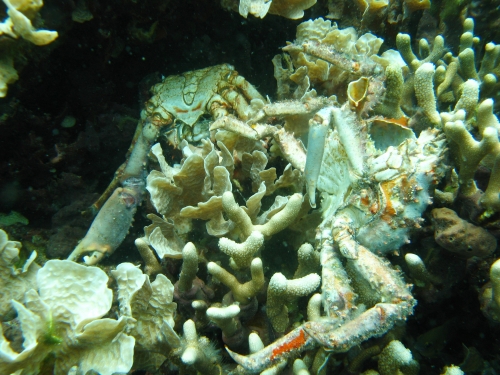
Low-oxygen zones are spreading around the globe. Red dots mark places on the coast where oxygen has plummeted to 2 milligrams per liter or less, and blue areas mark zones with the same low-oxygen levels in the open ocean. (Credit: GO2NE working group. Data from World Ocean Atlas 2013 and provided by R. J. Diaz)
Ocean Deoxygenation: Global map
: GO2NE working group. Data from World Ocean Atlas 2013 and provided by R. J. Diaz


