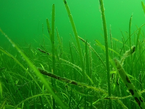
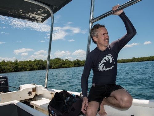
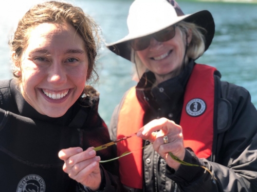
University of Central Florida geographer Tim Hawthorne sends up a drone to make high-resolution maps of seagrass in Belize.
Credit: Citizen Science GIS
Download (261.78 KB)
University of Central Florida geographer Tim Hawthorne sends up a drone to make high-resolution maps of seagrass in Belize.
Credit: Citizen Science GIS